Wednesday, June 29, 2011

Back in no time at all.

We found our accommodations, the Courtesy Inn, delightful. Our small room had fabulous 50's wood paneling and was clean, quiet and tucked away in a corner. It even had this charming informative plaque by the door.

The Courtesy Inn is very close to the train station and it has the Matt and Patricia seal of approval.

We got to the train station very early, so we could scope things out and eat at the Morning Glory Cafe, which was within a stone's throw of the station.

I ate like the locals and had a tofu-stuffed potato pancake with roasted vegetables, tofu sour cream and whole wheat bread with a pat of organic butter. The whole concoction was delicious, but honestly, the butter stole the show.

Matt had a coconut soup from the lunch special list which he also enjoyed.

As the station informed us, we were 123 miles from Portland and only 610 miles from San Francisco. If we rode for 18 more days at our current pace, we would arrive in San Francisco. As it was, we took the train back to Portland.

Train travel being awesome, you can buy a "bike ticket" and for $5.00, you can hang your bike in the baggage car. It's best to buy your bike ticket early, as there are a limited number of bike hangers, and they go quickly.

My bike being hung.

And our gear stuffed above our seats.

On the train!

The train trip retraced our bike trip, but in a much more timely fashion. We left Eugene at 9:00, and by 9:45 we were in...

Albany. It was two biking days between Albany and Eugene.

To pass the time we played Guillotine and Fluxx.

By 10:23 we were in...

Salem! It took three biking days to get from Salem to Eugene.

Our next stop:

We had five biking days between Oregon City and Eugene, yet only two hours and five minutes had passed on the train. Such a marvel, this modern travel technology.

Soon after that, Matt stood because we were back in Portland!

At 11:32 we were approaching the train station.

Outside our window, the complex where our friends Jan and E'an used to live.

We deboarded the train, retrieved our bikes from the baggage car, and rode the 4 miles home. Three hours after we left Eugene, six days after we left Portland, we posed in front of our front door for the final picture of the trip memorializing our approximate 180 miles ridden.
It was a good trip!

To see the photographic record of our trip Matt posted on Facebook go here:
https://www.facebook.com/media/set/?set=a.10150240061488137.315910.633443136&l=2392c1b7c6
Don't worry, it's public, you don't have to be a member of Facebook to see it.

Tuesday, June 28, 2011

Brownsville to Eugene

After our delicious free breakfast we headed out for Eugene, hoping to avoid rain. It rained fairly hard all night, but had stopped raining by the time we left around 9:00. We found instead mist. There was also a pretty big hill outside of Brownsville which I chose to walk up. "There's no shame in walkin'," I always say. Near the top of the hill we stopped for water/Gatorade and a man driving by rolled down his window and cheerfully informed us that once we reached the top of the hill, it was a long downward slope to look forward to. Indeed there was, and it was full of pretty scenery such as this.

Coburg Road was nearly at the end of the trail, so we stopped to commemorate one of the last WV Bike Trail signs we would see.

There were a goodly number of cemeteries on the route. This was the only one we stopped at.

Nice and old.

I was interested in the mowing pattern. A walkway had been mowed, and half of the gravestones, but not the other half. I'm not sure why.

Continuing on, we ran into another biking couple, Matt and Erin from Colorado. They had begun in Tillamook and were headed to Eugene and then up over the mountains. After chatting a bit, we bid them good riding and stopped at the official end of the Willamette Valley Scenic Bikeway: Armitage County Park.

Matt taking one last trail picture.

Where we took our "finished with the trail!" picture.

Then we packed up, got back on the bikes and rode another five miles to Eugene.

Where we ran into our friends Matt and Erin again.

We checked into our motel, happy to have ridden the last 33 miles of the trip.

After showering, we found the best meal we ate on the trip and one of the best meals we had eaten in a long time. I had a Cobb-type salad with hazelnut crusted chicken that was amazing and Matt had a burger he couldn't stop exclaiming over.

Should you want to partake, visit the Sixth Street Grill. It's a bar, with interesting drink specials, but also incredibly good food.


To see the photographic record of our trip Matt posted on Facebook go here:
https://www.facebook.com/media/set/?set=a.10150240061488137.315910.633443136&l=2392c1b7c6
Don't worry, it's public, you don't have to be a member of Facebook to see it.

Monday, June 27, 2011

Brownsville

Brownsville is a small town best known for being the place the movie Stand By Me was filmed. We ate a good meal at the Brownsville Saloon before riding to our motel.

We stayed at the Halsey Travelodge, which was a bit longer ride down a much busier highway than I would have wanted. But once we got there, it was perfect. We were one of only about 4 rooms rented, there was a pool and hot tub, which was wonderful. There was also a restaurant where we had dessert and we got a free breakfast in the morning.

But first, our daily mileage photo. 34 good miles on our last day with sunshine.

When riding on a hot and sweaty day, the hands turn black from the handlebar grips.


To see the photographic record of our trip Matt posted on Facebook go here:
https://www.facebook.com/media/set/?set=a.10150240061488137.315910.633443136&l=2392c1b7c6
Don't worry, it's public, you don't have to be a member of Facebook to see it.

A stop at Thompson's Mills

We planned to stop at Thompson's Mills because it is a State Heritage Site and because it had a bathroom. However, events transpired about a quarter mile away from the site, which required a stop there for sure.

As reported earlier, my tire needed a lot of air in the morning when stopped to use the Bike n' Hike's pump. I found that a little odd as normally a once-per-week inflation keeps me rolling steadily and it had only been a few days. Indeed, just past Shedd I noticed a bit of wobbling and soon after that the tire deflated with a whoosh. We walked the last quarter mile to Thompson's Mills where I happily unwrapped my brand-new CO2 charger.

I brought along a hand bike pump, but I've used a hand pump to inflate a tire before and it takes a long time. The CO2 charger was quite exiting. With a quick squeeze the tire was inflated in seconds.

The bike repaired, we took in the historical information about the mill.

The displays about grain production and the mills' lifetime were informative and interesting. For instance, at one point there was a town (named Boston) right next to the Mill. When the railroad went through Shedd's Station, the place where I noticed my tire losing air, the town around the mill was abandoned and many buildings were moved to Shedd.
Our historical thirst quenched, we continued on to Brownsville.


To see the photographic record of our trip Matt posted on Facebook go here:
https://www.facebook.com/media/set/?set=a.10150240061488137.315910.633443136&l=2392c1b7c6
Don't worry, it's public, you don't have to be a member of Facebook to see it.

Leaving Albany

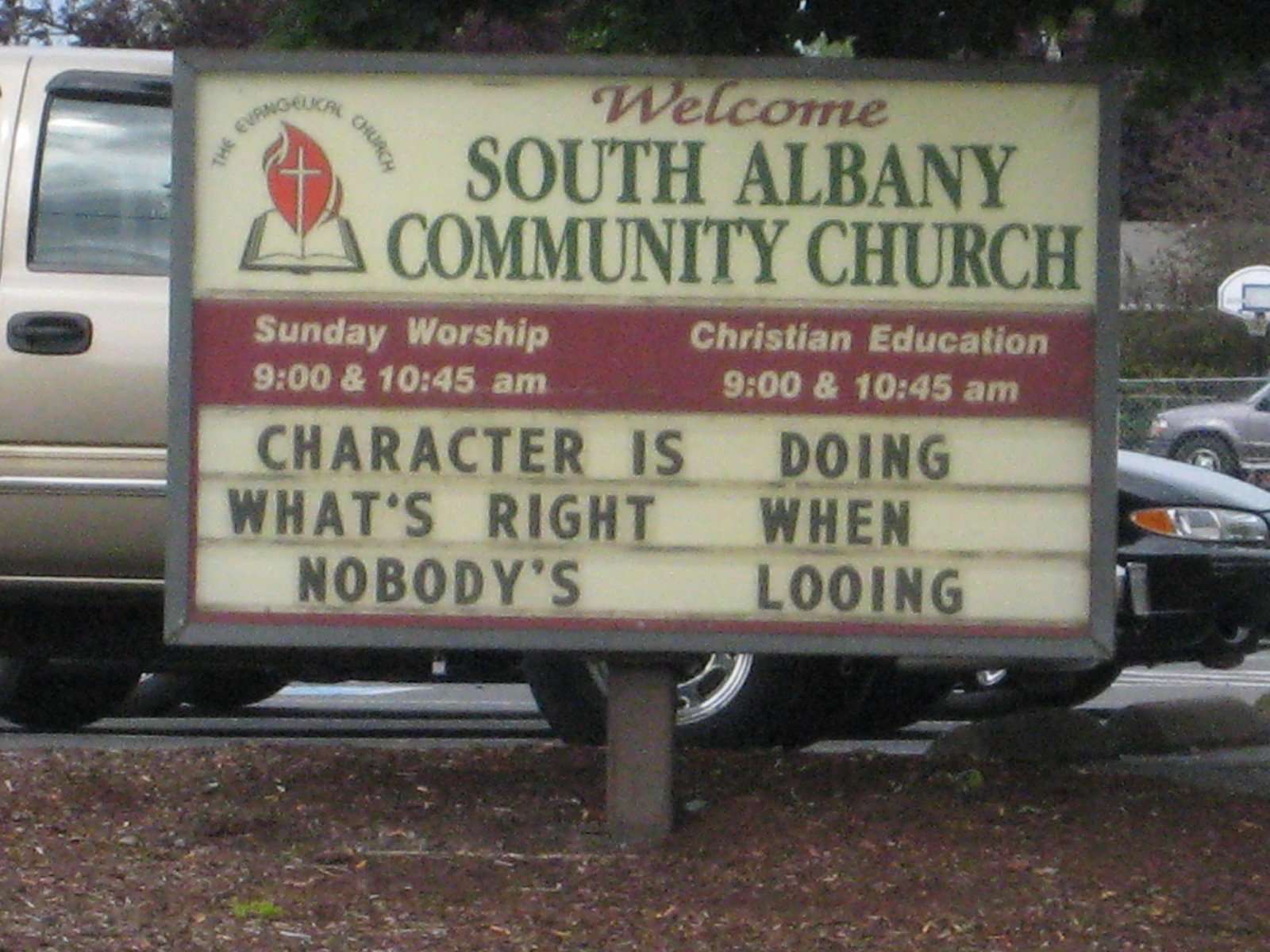
On the way out of town, which included going through town--at this point we had only been on the outskirts--Matt hooted at this sign and had me take a picture of it. Albany is a nice town with a theater company performing Oliver Twist. We also stopped at the Bike n' Hike and pumped up our tires. Mine was quite low. I also bought a CO2 charger, in case of flat tire disaster. Could this be foreshadowing? Read on.

The route from Albany to Brownsville had fields aplenty, but we rode past a lot of houses too. It was interesting to me that there would be miles of fields and then, in the middle of seemingly nowhere would be eight to ten houses in a row before we reverted to fields again.

Another look at the Willamette from the route.

A handy sign informed me this field was radish seed. As I find radishes gone to see incredibly pretty and I also have some in my yard, I took a picture.

Now and again we would see beehives in the clover fields. This was a particularly large operation.


To see the photographic record of our trip Matt posted on Facebook go here:
https://www.facebook.com/media/set/?set=a.10150240061488137.315910.633443136&l=2392c1b7c6
Don't worry, it's public, you don't have to be a member of Facebook to see it.

Sunday, June 26, 2011

On the road to Albany

Outside of Salem we had rolling hills, to Matt's delight and my annoyance. He found the flat farmland of the previous day bor-ring while I enjoyed the many different crops we saw. I found the constant up and down more of an annoyance than entertaining, but then I had my fill of rolling hills while riding my bike in Western Massachusetts.

Partway up one such rolling hill, Matt came to an abrupt stop. He was switching gears and the grip shifter on the big gear side came off. We attempted to fix it, failed and resolved to ride eight more miles (with him in the granny gear) to Independence/Monmouth to see if there was a bike shop open. However! Matt then unpacked his entire gear to get his sunglasses out and while I was waiting for that unpack and pack experience to end I somehow managed to fix the shifter! Yay me! I'm glad it didn't break again, because I think that was a lightning strikes sort of a situation.

More farmland. After the initial rolling hill section, we were back to flat farmland.

A stop at Johnston Street.

One of the "fun" things about the trip was riding for a seemingly long time and then seeing a sign that said that where you came from was not really that far away. At least by car 13 miles isn't that far.

We stopped for more sunscreen at Talbot (more a crossroads than a town) and I observed that people hadn't stayed long at the Talbot Community Church. Services started at 11:00, we were there at 12:30 and there was no one about.
This is the first field of peppermint I saw on the trip. The Willamette Valley is known for peppermint production, but we saw a lot more hops in production than peppermint.


Outside of Jefferson, we were to take Scravel Hill Road, our big climb of the day. Before we even got to the interchange we saw signs that there would be a detour. The detour was quite well marked, and if I had carefully looked at the website before we left, I would have known about it ahead of time, as there is a link on the Willamette Valley Scenic Bikeway website describing the scope of the work and the suggested detour. The good news is that we avoided our big climb of the day by taking the detour.

We ended up on Kamph Road, after heading through the Murder Creek interchange. Here you can find out how Murder Creek got its name. You can see the very vivid bike detour signs that guided us on our way.

At the intersection of Kamph and Scravel Hill Road a motorcyclist stopped to chat. He had come from Brownsville, leaving after church and was having a good time riding about. We told him we were headed to Albany today and would be in Brownsville tomorrow.

Also, at this intersection--I believe we were adding more sunscreen to our bodies and that's why we were there so long--a car pulled up and a young man got out, holding some sort of device. I immediately suspected them of geocaching and I was proved correct when he shouted to his companion that he had found it.

Arriving in Albany, we had to wait a bit to check into our room at the Quality Inn. They were nice enough to let us park our bikes in the meeting room while we waited and there was a computer in the lobby so Matt could check his Facebook and retrieve his many "Happy Birthday" wishes, as today was his birthday. We checked the movie times of the theater near us and walked to the theater to celebrate by watching X-Men: First Class which we both enjoyed.

Walking back, we stopped at Sweetwater's Family Restaurant which is one of my favorite types of establishments. I call them "old people restaurants" and the criteria includes: a full menu of Breakfast, Lunch and Dinner offerings encompassing all the "normal" American food such as grilled cheese, ham and cheese 3-egg omelet, Chef's Salad etc. If you are lucky, they will still have listed a "diet plate" consisting of a hamburger patty, a side of cottage cheese and a cup of fruit. A good portion of the menu should be given over to the "senior menu." It was in this place. "I can't order most of the stuff on here," Matt complained, "because it's all senior menu." The food is usually not fabulous, consisting of unfancy bread, iceberg lettuce salads with a few carrot shavings, entrees that come with sides of vegetables that have been sitting in the steam tray for hours. But if you choose wisely, (grilled cheese and fries) it tastes delicious and is pretty darn cheap too. They also always have a rotating pie case and when pie is ordered, cut generous slices. In my opinion, the best menu choice is the soup, salad and slice of pie meal. This is what I partook of. The beef vegetable (another classic of such restaurants) was salty and more broth than anything, the salad came with ranch on the salad, not ranch on the side as I had requested, but the pie was a delicious peanut butter chocolate concoction with more calories in the whipped cream than the salad and soup combined. I suspect the main demographic for such restaurants has an average age of about 75 by now, and with the passing of their patrons, these restaurants will slowly shutter. That's why I take advantage of them in the here and now. That and the pie.

The restaurants also tend to have out-of-this-decade decor that warms the cockles of my heart, such as these chairs.

Matt had the apple stuffed chicken which came with delicious sides as well as the aforementioned limp vegetables in the form of green beans. He ate everything but the green beans.

Back at the hotel we got ready for a soak in the hot tub, but first posed with our mileage today: 44 miles.
To see the photographic record of our trip Matt posted on Facebook go here:
https://www.facebook.com/media/set/?set=a.10150240061488137.315910.633443136&l=2392c1b7c6
Don't worry, it's public, you don't have to be a member of Facebook to see it.

Leaving Salem

Before we left Salem we stopped at a Safeway for some snacks, having depleted them yesterday on our "no other food" day. Then we stopped by the capitol for some commemorative pictures.

It rapidly became apparent that I should have purchased one of those flexible camera tripods for this trip. We had an elaborate Macgyver setup involving a bike bucket, a U-lock, and two paperback books. This was our first attempt:

We rejected that photo as too far away and moved the whole operation closer for this:

Matt requested this pose:

He then spotted this statuary and immediately had me stand in front of the back half of the word "frontier."

And I had him do the same.
To see the photographic record of our trip Matt posted on Facebook go here:
https://www.facebook.com/media/set/?set=a.10150240061488137.315910.633443136&l=2392c1b7c6
Don't worry, it's public, you don't have to be a member of Facebook to see it.